A structured incident/near-miss report for drone operators documenting events, contributing factors, damage, injuries, witness statements, corrective actions, and FAA Part 107.9 reporting compliance.
Last updated
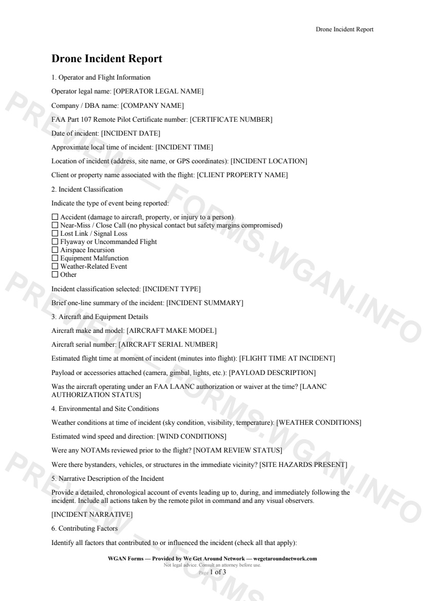
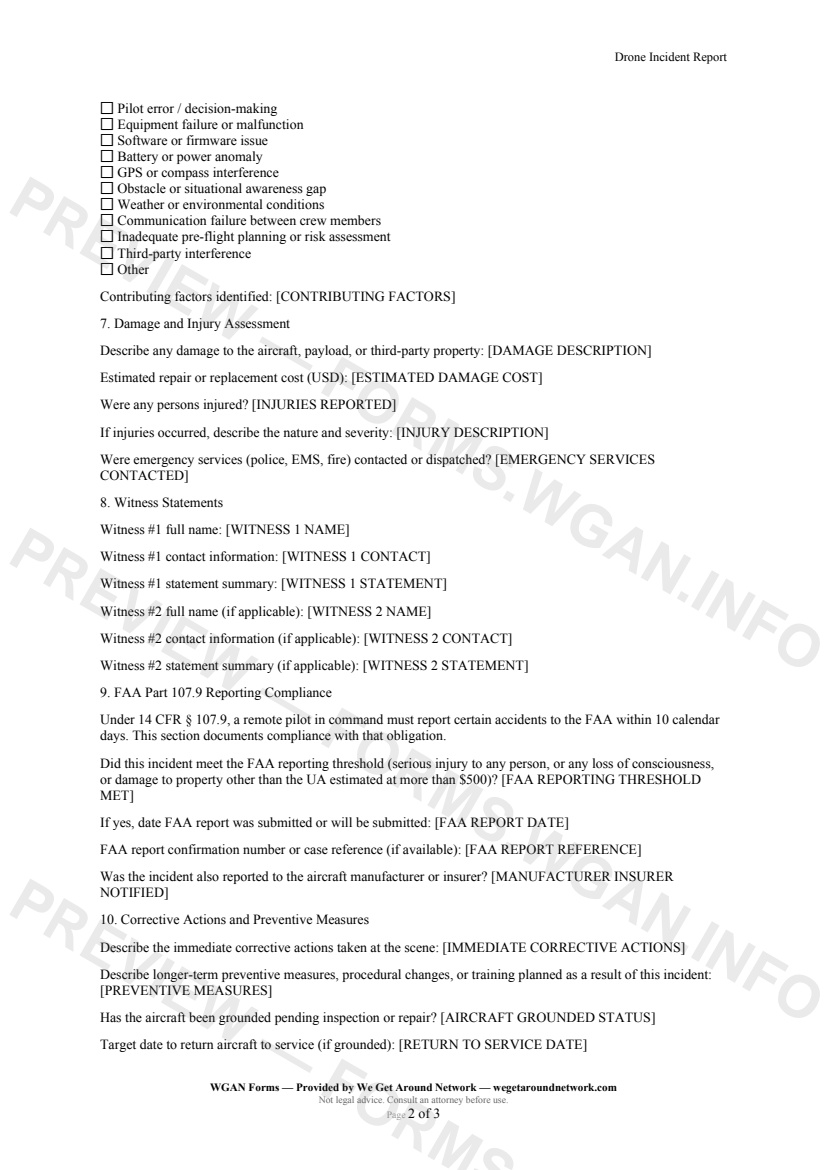
The Drone Incident Report is a structured form for remote pilots, real estate photographers, 3D tour creators, and reality-capture professionals to document drone accidents, near-misses, and equipment malfunctions. It captures operator credentials, flight details, incident classification, contributing factors, damage and injury assessments, witness statements, and FAA Part 107.9 reporting compliance data in a single auditable record suitable for insurance claims, safety registers, and federal submissions.
The Drone Incident Report should be completed immediately after any drone accident, near-miss, flyaway, lost-link event, airspace incursion, equipment malfunction, or weather-related event during a real estate shoot or 3D tour capture. It is also appropriate when property damage, a bystander interaction, or a regulatory threshold under FAA Part 107.9 — such as property damage exceeding $500 or a serious injury — may trigger a mandatory federal report.
First 2 pages shown — watermarked. Subscribe to fill out and download the unbranded document.
Every report begins with identifying the remote pilot in command by legal name, FAA Part 107 certificate number, and company name — the same credentials that appear on your certificate and insurance policy. The flight details section captures the exact date, local time, and precise location (address or GPS coordinates) of the event, along with the associated client or property name for cross-referencing with your job records.
A clear taxonomy keeps your records audit-ready. Choose from eight event types — **Accident**, **Near-Miss / Close Call**, **Lost Link**, **Flyaway**, **Airspace Incursion**, **Equipment Malfunction**, **Weather-Related Event**, or **Other** — and add a one-line summary that can stand alone in a safety register or insurance claim header.
Document the exact aircraft make, model, and serial number, plus any payload attached. Record whether a LAANC authorization or FAA waiver was active at the time, and capture sky condition, visibility, temperature, wind speed and direction, NOTAM review status, and whether bystanders or structures were present — the environmental data that insurers and the FAA will ask for first.
This section walks you through the federal reporting obligation. If the incident meets the threshold — serious injury, loss of consciousness, or property damage exceeding $500 — you record the submission date, FAA confirmation number, and whether the manufacturer or insurer was also notified. All fields map directly to the FAA's ASIAS / DroneZone submission requirements.
Other templates capture pros use alongside this one.
Aerial Services Scope Addendum — WGAN 2026 form template.
Post-Flight Checklist & Flight Log — WGAN 2026 form template.
A drone-operator disclosure form identifying no-fly zones, TFRs, and restricted airspace that affect a shoot, with proposed alternatives for real estate and proptech clients.
FAA Part 107 Pre-Flight Checklist — WGAN 2026 form template.