A property owner consent form authorizing drone flight over a specific address, covering privacy waivers, insurance disclosure, altitude limits, and imagery rights — for real estate photographers and aerial service providers.
Last updated
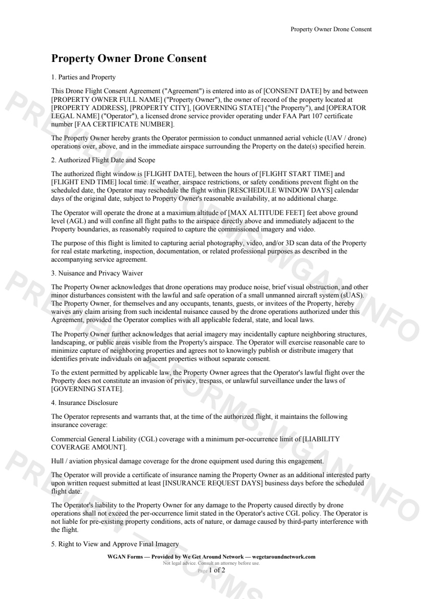
The Property Owner Drone Consent is a single-property authorization agreement between a property owner of record and a FAA Part 107-certified drone operator. It documents the approved flight date, altitude ceiling, and airspace scope; collects a nuisance and privacy waiver from the owner and occupants; discloses the operator's commercial liability and hull/aviation insurance; and establishes the owner's right to review and request removal of final aerial imagery before publication.
The Property Owner Drone Consent should be used before every residential or commercial aerial shoot where the operator requires written authorization from the property owner. It is especially relevant when a listing agent cannot grant property-level consent, when occupants are present during the flight, when a client requests proof of insurance disclosure, or when the operator intends to retain portfolio rights to the resulting imagery.
First 2 pages shown — watermarked. Subscribe to fill out and download the unbranded document.
This agreement is entered into between the property owner of record — identified by name and the specific property address — and the drone Operator holding a current FAA Part 107 certificate. It establishes the legal framework for a single authorized flight engagement over the named property.
The consent covers a defined flight window on a specific date, with a clearly stated maximum altitude (up to the FAA Part 107 default of 400 ft AGL) and flight paths confined to the airspace directly above and adjacent to the property boundaries. A built-in reschedule provision protects both parties when weather or airspace restrictions intervene.
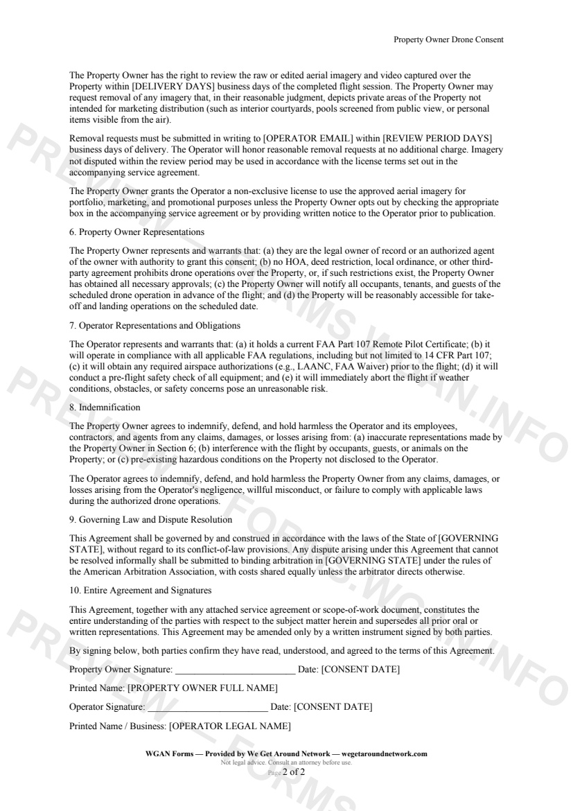
The Operator discloses its commercial general liability (CGL) per-occurrence limit and confirms hull/aviation coverage for the equipment. The property owner may request a certificate of insurance with reasonable advance notice, and the Operator's liability is capped at the active policy limit.
After delivery, the property owner has a defined review window to inspect all aerial imagery and video. During that period, they may request removal of any imagery depicting private areas not intended for marketing. Requests are submitted by email to the Operator — no charge for reasonable removals.
Other templates capture pros use alongside this one.
Aerial Services Scope Addendum — WGAN 2026 form template.
Post-Flight Checklist & Flight Log — WGAN 2026 form template.
A drone-operator disclosure form identifying no-fly zones, TFRs, and restricted airspace that affect a shoot, with proposed alternatives for real estate and proptech clients.
FAA Part 107 Pre-Flight Checklist — WGAN 2026 form template.